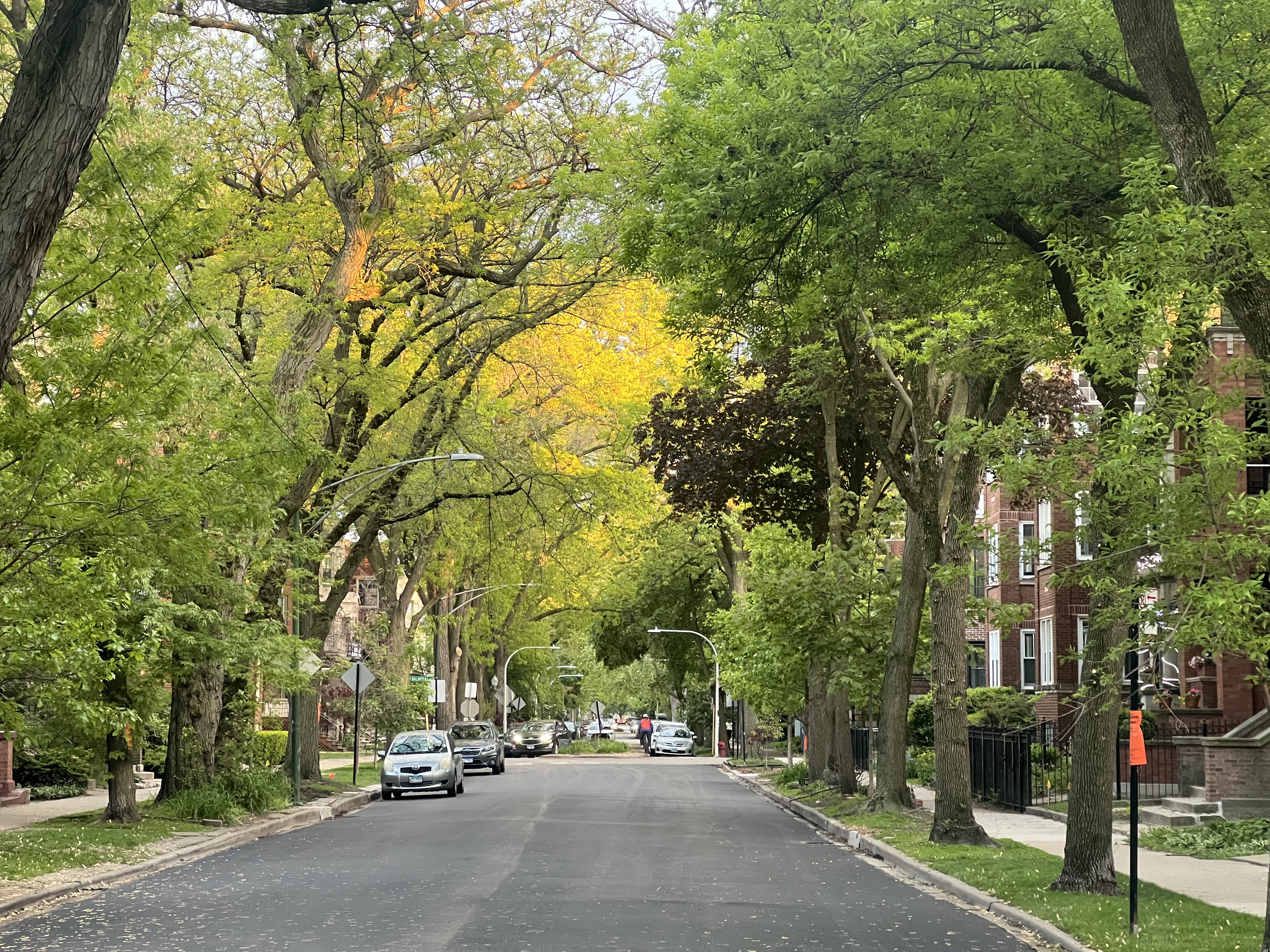
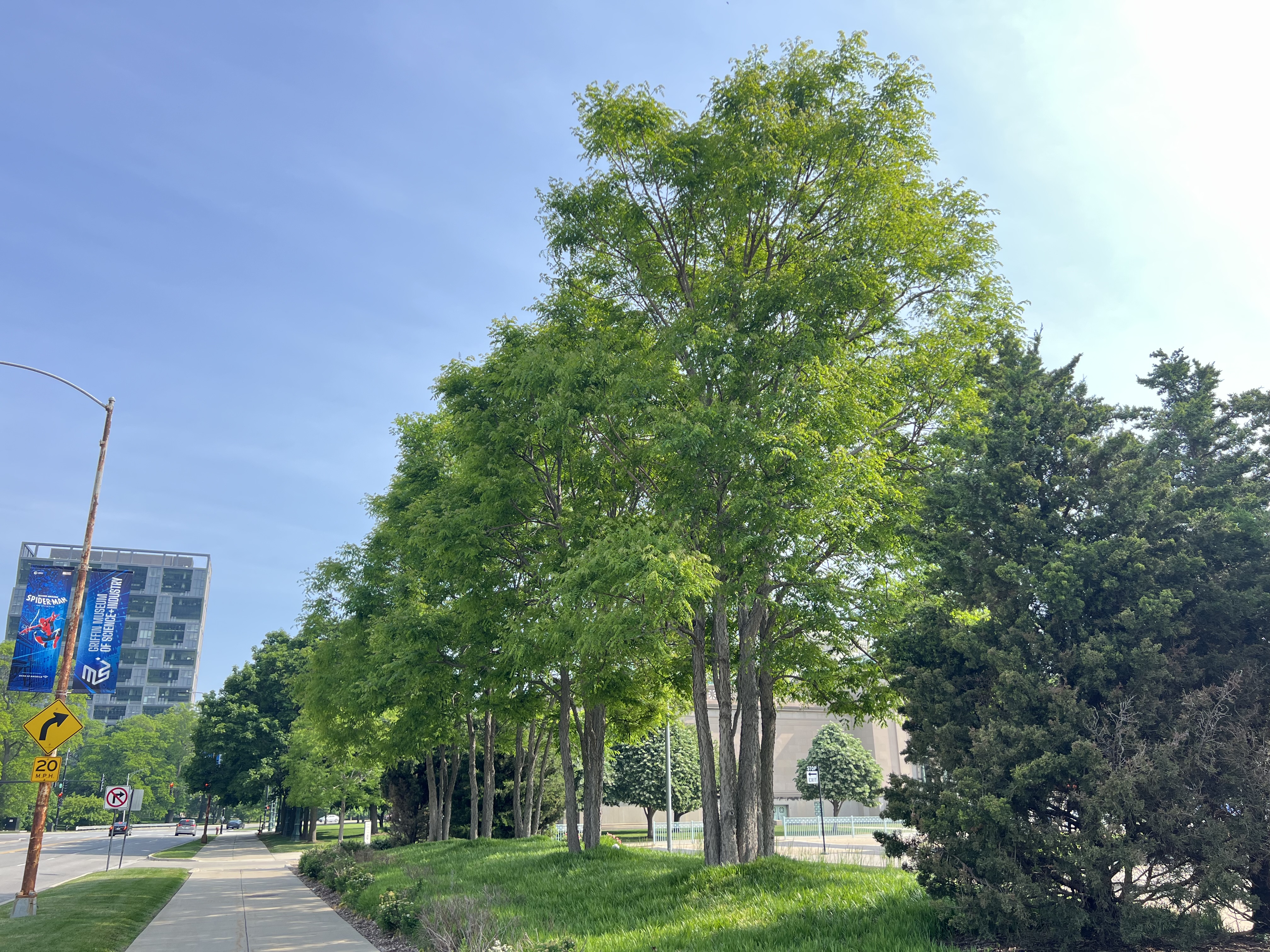
Urban green spaces — parks, street trees, and natural areas — provide essential services for city residents, from cooling neighborhoods on hot days to supporting wildlife and connecting people to nature. But the role of biodiversity in generating benefits is poorly understood and they are often not equally accessible. Our lab works across spatial scales — from plot-level field experiments to city-wide remote sensing to global tree inventories — united by a commitment to understanding and improving urban landscapes for both people and plants.
Biodiversity and Ecosystem Function
A growing body of research shows that biodiversity improves productivity and ecosystem function in natural systems — but does this hold in cities? We study how the diversity and structure of urban vegetation affect key ecosystem services, with a focus on microclimate regulation and cooling.
At the tree scale, higher species diversity is associated with lower urban temperatures. Using California’s urban forest inventory (over 7 million individual trees), we showed that street tree diversity mitigates urban heat independent of canopy cover. At the plot scale, we are testing whether diverse alternative lawn plantings, including native meadow and prairie, outperform conventional turf in cooling capacity during the summer, through an ongoing field experiment across five Chicago parks. This work is part of the Rethinking Lawns Project, an on-going collaborative effort between the Chicago Botanic Garden, the Chicago Park District, and the University of Michigan, Flint. We also use satellite-based land surface temperature and vegetation index data to scale these questions across Chicago and beyond.
Selected publications:
- Rendon, P., N.L.R. Love, C. Pawlak, J. Yost, M. Ritter, and J. Doremus. 2024. Street tree diversity and urban heat. Urban Forestry & Urban Greening 91: 128180. https://doi.org/10.1016/j.ufug.2023.128180
- Love, N.L.R., et al. 2022. Diversity and structure in California’s urban forest. Urban Forestry & Urban Greening 74: 127679. https://doi.org/10.1016/j.ufug.2022.127679
- Love, N.L.R., et al. 2025. Not all green is equal: Growth form is a key driver of urban vegetation sensitivity to climate in Chicago. Remote Sensing 17: 2919. https://doi.org/10.3390/rs17172919
Urban Forests as Conservation Tools
Urban forests are often overlooked as conservation resources, but cities collectively host hundreds of threatened tree species. Using the Global Urban Tree Inventory (>12 million individual trees, 4,700+ species, 473+ cities), we found that 380 threatened tree species are cultivated across 525 cities worldwide — including many that are endangered or critically endangered in their native ranges.
Planting threatened species is not enough, however: the genetic diversity of urban populations matters too. Chicago’s history makes this urgent. Heavy reliance on American elm, then genetically uniform ash, led to catastrophic waves of canopy loss from Dutch elm disease and the emerald ash borer. Now, the Kentucky coffeetree (Gymnocladus dioicus) — a Midwest native and popular ash replacement — is being planted widely across Chicagoland. If these plantings lack genetic diversity, the stage may be set for a third wave of urban canopy collapse.
Our lab is conducting the first baseline assessment of genetic diversity in urban Kentucky coffeetree populations in Chicago. We are sampling 100 cultivated trees across an age gradient — from newly planted saplings to fully established adults — to understand how genetic diversity changes over time as nursery practices evolve. We are also developing a custom amplicon panel, a reusable genotyping tool that will enable rapid, standardized genetic assessment of coffeetrees across cities, regions, and research questions well into the future.
To understand what fraction of wild genetic diversity is captured in urban plantings, we are comparing urban trees to range-wide wild populations using two exceptional living collections: the USDA North Central Regional Plant Introduction Station and the Brenton Arboretum in Iowa, which together represent the full geographic range of the species. This comparison will reveal whether urban cultivation filters genetic variation — and if so, how much diversity is lost in the transition from wild forest to city street.
The results will directly inform urban forest management. By identifying whether current plantings are genetically diverse or dangerously uniform, we can guide sourcing strategies that build long-term canopy resilience — and ensure that Chicago’s coffeetree-lined streets don’t become the next casualty of a preventable outbreak.
Selected publications:
- Love, N.L.R., et al. 2025. Genetic diversity in urban forests and their potential role in conserving the world’s threatened tree species. Annals of Botany. https://doi.org/10.1093/aob/mcaf238
- Love, N.L.R., et al. 2023. California’s native trees and their use in the urban forest. Urban Forestry & Urban Greening 89: 128125. https://doi.org/10.1016/j.ufug.2023.128125
- Ventura, J., …, N.L.R. Love, et al. 2024. Individual tree detection in large-scale urban environments using high-resolution multispectral imagery. International Journal of Applied Earth Observation and Geoinformation. https://doi.org/10.1016/j.jag.2024.103848
Environmental Equity and Socioecological Patterns
Urban green space and vegetation cover are inequitably distributed — a pattern tied across U.S. cities to legacies of redlining and income inequality. But inequity in the quantity of green space may be compounded by inequity in quality. We ask: does vegetation sensitivity to climate — how much vegetation health declines during heat waves and drought — also vary among communities?
Using Landsat satellite data spanning 1984–2023, we analyzed vegetation sensitivity to climate across Chicago census tracts. Communities with higher herbaceous and shrub cover are more sensitive to drought, while communities with higher tree cover show greater climate buffering. Preliminary evidence suggests race-based differences in vegetation sensitivity, with implications for how cities prioritize green infrastructure investments. Decisions about what to plant matter as much as how much — particularly for communities most vulnerable to climate-driven heat and drought.
Selected publications:
- Love, N.L.R., et al. 2025. Not all green is equal: Growth form is a key driver of urban vegetation sensitivity to climate in Chicago. Remote Sensing 17: 2919. https://doi.org/10.3390/rs17172919
- Lee, J., …, N.L.R. Love, et al. 2024. Urban land surface temperature downscaling in Chicago: Addressing ethnic inequality and gentrification. Remote Sensing 16: 1639. https://doi.org/10.3390/rs16091639
- Cho, A., N.L.R. Love, et al. 2025. Plant species selection and participatory community co-design are essential in balancing ecosystem services and disservices in urban areas. Environmental Research Letters 20(5): 051003. https://doi.org/10.1088/1748-9326/adc944